Available for:
 Government Advising
 Media
Media
 Research Collaboration

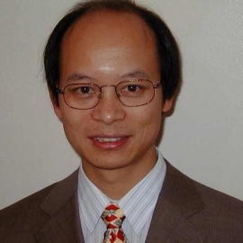
Professor Ge has been an active researcher in remote sensing for earth observation since 1998. In particular, he and his team mapped the 2009 Victorian bushfires in near real-time using satellite imagery. They have been developing more reliable and robust bushfire mapping techniques, which are crucial to fire modelling, firefighting and relief management. The same techniques can be used to quantify water available in fire affected areas and hence help firefighting efforts.